





Design & Planning Automation · Construction Digital Twin · Asset Digital Twin
From survey to model. To the centimetre.
We turn a laser scan survey into a BIM model that matches existing conditions, ready for design, construction or building operations.
Scan to BIM is the process that starts from a laser scan survey and ends with a BIM model of the building or infrastructure as it is. The laser scanner produces a point cloud, millions of measured coordinates. On that basis the real elements are modeled, with the information needed for the intended use.
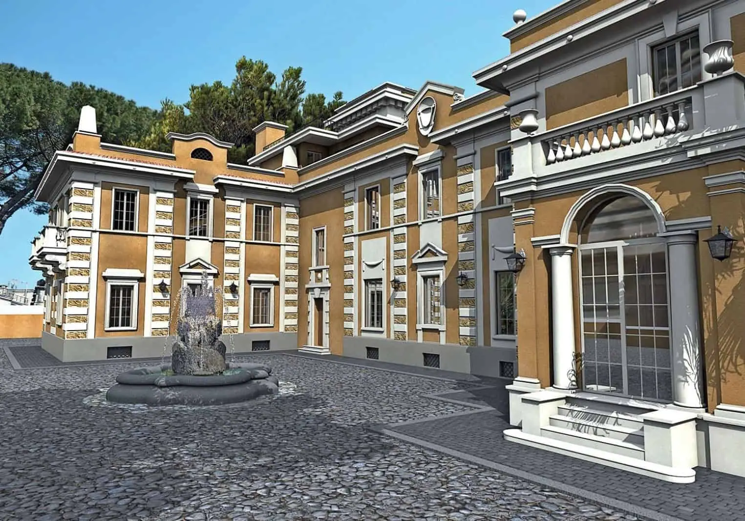
BIMON carries out both the survey and the modeling. At Villa Serena, a historic villa in Rome's Parioli district, we carried out a precision survey with an error under one centimetre, alongside site inspection campaigns. We studied the structural drawings in depth, built parametric Revit families for shafts and consolidation works, and checked the position of every as-built element against the point cloud. A quick clash detection between structural and MEP models corrected positions the survey could not reveal.
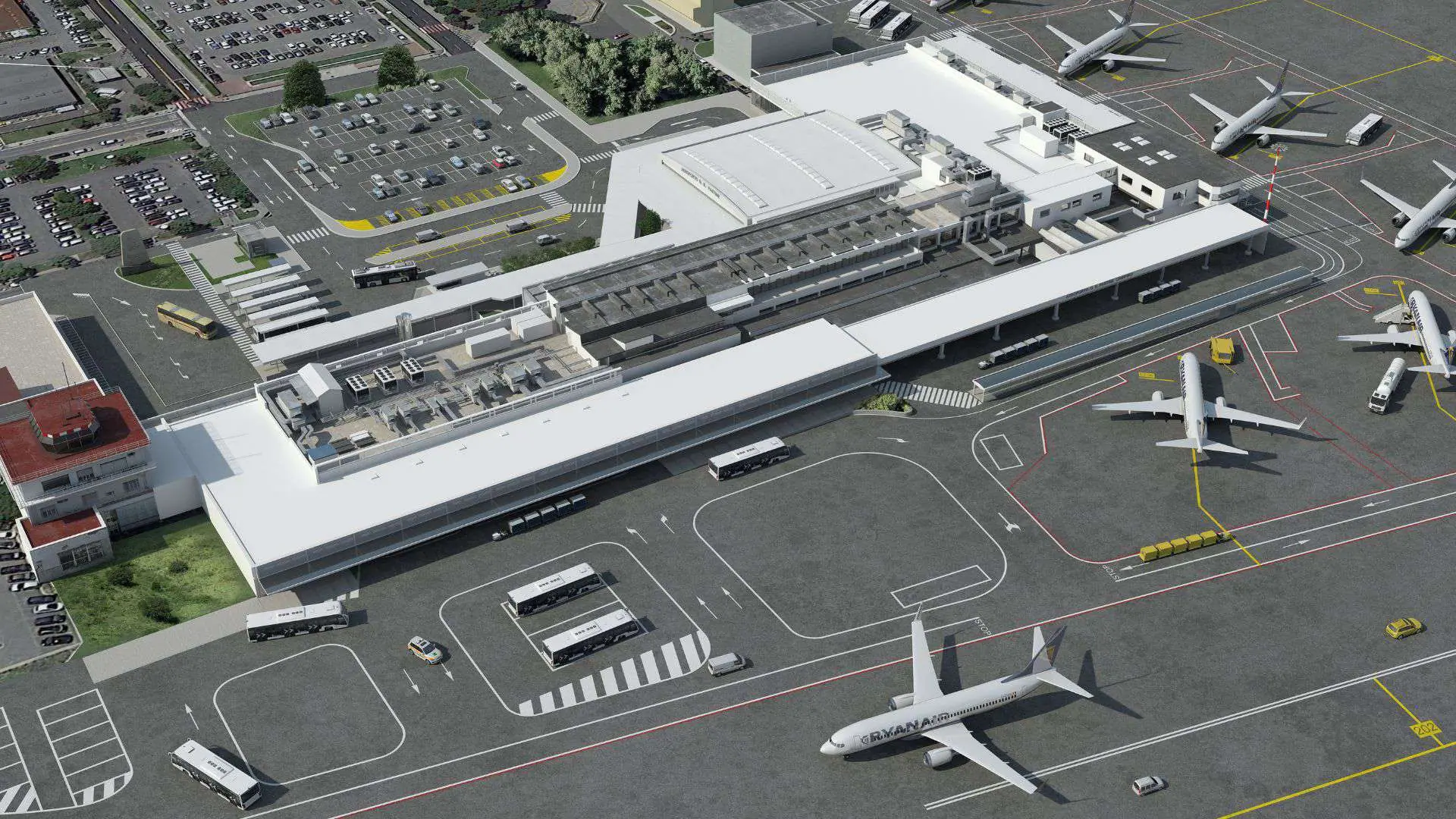
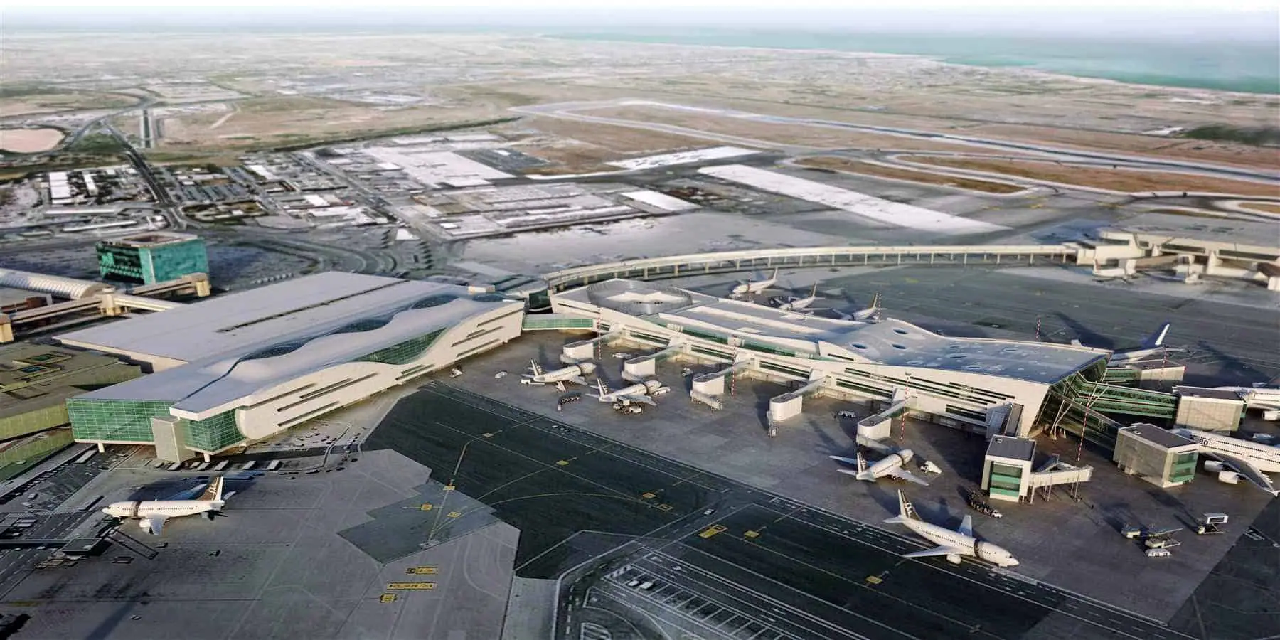
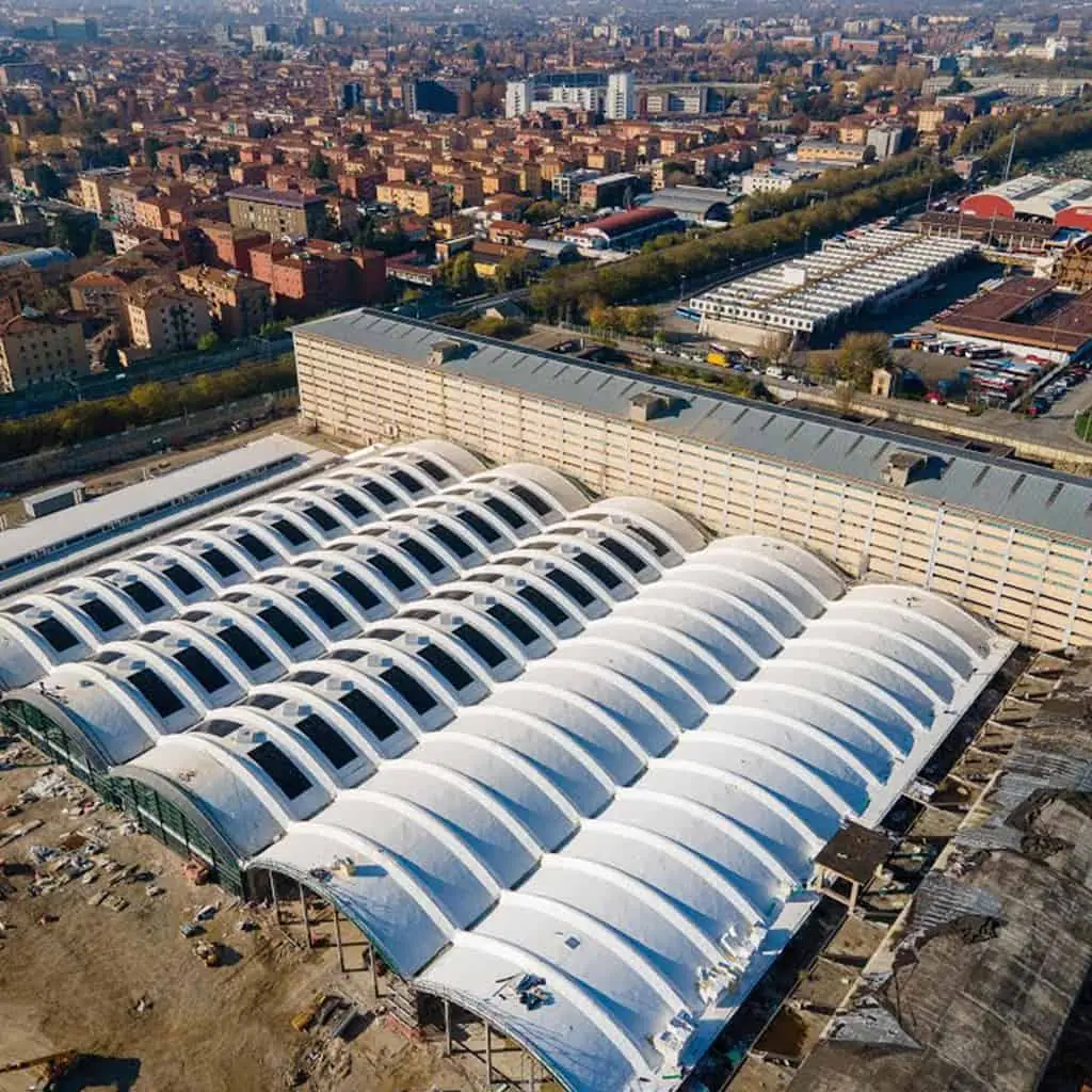
The as-built model is updated while work progresses and becomes the basis for facility management. A discrepancy report shows the differences between the original design and what was built. The same approach was used for the existing state of the Ciampino general aviation terminal, the digitization of large areas of Fiumicino airport and the models of the ECMWF data center in Bologna.
You need it when renovating or extending an existing building, when available drawings are unreliable, when the as-built must be documented or when a digital twin is planned for an asset already in operation.
How we work
- 1
Inspection and survey
We plan the scan stations and carry out the laser scan survey with photographic records.
- 2
Point cloud
We register and clean the scans into a single navigable point cloud.
- 3
Modeling
We model the elements on the cloud at the agreed level of detail and check their positions.
- 4
Comparison
We compare model, design and reality and deliver the discrepancy report.
Frequently asked questions
How accurate is Scan to BIM?+
Accuracy depends on the instrument, the number of stations and the model's level of detail. At Villa Serena BIMON's laser scan survey had an error under one centimetre. Tolerance should always be agreed upfront, based on how the model will be used.
Can Scan to BIM be done during construction?+
Yes. Repeated surveys at each milestone keep the as-built model updated and comparable with the design. This is what was done at Villa Serena, where the model was updated alongside the works to support site management.
Does a Scan to BIM model include MEP systems?+
It can, for the visible or accessible parts. Hidden parts are reconstructed by cross-checking the survey with design documents and running clash checks between models. The level of detail is set according to what the model will be used for.
Reach your digital future.
Tell us about your asset, your tender or your idea. A BIMON engineer will get back to you within two working days.